The plan was first to go to a site between Anchor and Bishop's Moat on the Kerry Ridge, which runs along the Welsh border. This site has the advantage of being able to see Holme Moss in the Peak District, which is also visible from the North York Moors, giving a 250km+ path. I tried to get to this site back in May, but turned back due to the bomb-cratered nature of the road.
This time, I chose a circuitous route from the east and south, along several miles of isolated single track roads. I had visions of breaking down and being found as a skeleton several months later. Progress was slow in parts, due to avoiding the raised, grassy ridges in the middle of the roads. I've always been wary of these since losing my sump while foxhunting deep in the Clocaenog Forest. **
I heard Rob M0DTS at good strength on the magmount as I was approaching the site, but there was nowhere to stop. I was doing well, until less than 400m from the site, I encountered this double lake in a dip on a muddy bend.

- Anchor1b.jpg (258.47 KiB) Viewed 7194 times
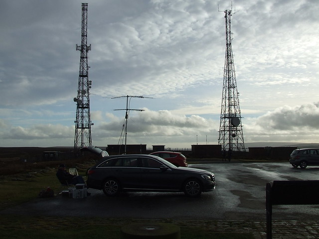
It doesn't look so bad in the photo. I did some depth measurements with a tree branch, but while I was contemplating whether to risk it, a tractor went through and wobbled so much that it made my mind up. I went to the backup site which was 800m but 25 minutes away, to find that the view was obstructed. The very tall Google Streetview camera strikes again. I decided to abandon this area and proceeded to Clee Hill near Ludlow, about an hour away.
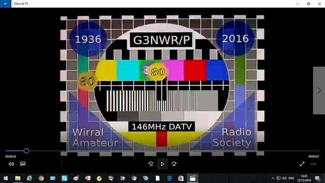
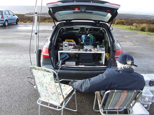
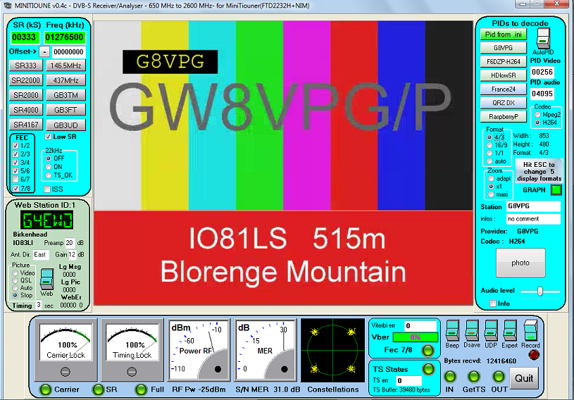
At Clee Hill, I spoke to Shaun GW8VPG/P at Blorenge Mountain in South Wales on the magmount, who was a reasonable signal. The south-easterly takeoff for G8GTZ didn't look very good, so I went further up the hill, but Shaun's signal went down. I went back down and parked up at IO82QJ84CR, 468m asl. With the 9 ele Tonna deployed, Shaun was a huge signal and a two-way 146MHz, SR333 contact was easily achieved over the 86km path.
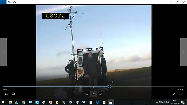
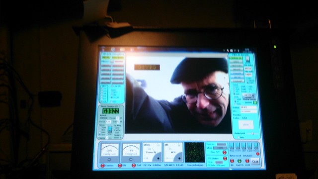
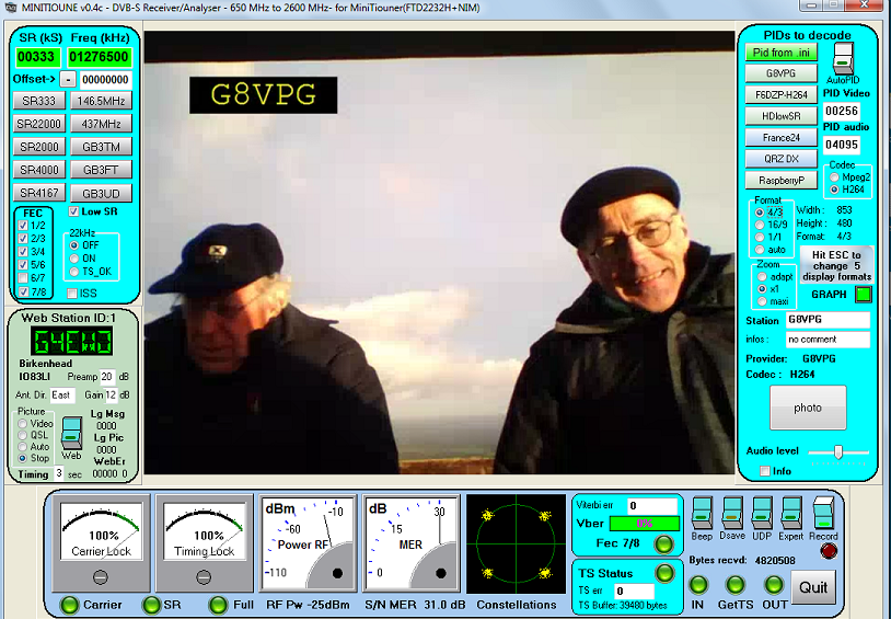
I then spoke to Noel G8GTZ/P at Ventnor. There was random QSB between S0 and S9, but I managed to receive his 146MHz, SR333 pictures over the 220km path, as they faded in and out. Maximum MER was 4.5dB. Unfortunately, he was was unable to receive me, but it was very close to locking on.
By that time it was past sunset, so there was no time to try moving to a better takeoff.
It was a very long, but fun day out. Thanks to all involved.
Brian
** Have you ever tried calling a rescue service while out in the wilds? "I've broken down in the Clocaenog Forest". "Can you give me the name of the road". "It doesn't have one - I'm in a forest". "Can you give me the postcode". " There isn't one - I'm in a forest. I can give you NGR, lat/long, QRA". "No, we don't use those". I had to get a lift back to the pub on the main road and meet the breakdown truck there.
- 333b.png (316.57 KiB) Viewed 7194 times
- 222b.png (363.66 KiB) Viewed 7194 times